
77 Vintage Maps of the World & Bonus
$19.00
Introducing our Extensive, High Quality, and Rare Collection of Vintage Maps.
Each image was sourced from an array of encyclopedias that were published in the late 1800’s. Scanned at a whopping 1200dpi, every map has as much detail as possible squeezed in.
The Areas Covered; Africa, Asia, Australia, Sweden, Norway, Switzerland, Turkey, United States, Great Britain, New Zealand, North Polar, Russia, Spain, Portugal, Austria, Canada, China, Cyprus, Europe, France, 1 Full Globe Map, The Roman Empire, Germany, India, Ireland, Italy, and some miscellaneous maps; The Seasons, Suez Canal, Isothermal Lines of the Globe, Various Mining Areas in the UK, and more.
What’s Inside?
- 77 High Resolution JPG images (Vast majority = 6188px x 9875px)
- BONUS! 77 Perfectly Transparent PNG Images (Maps without Backgrounds)

Related products


Reviews
| 5 star | 100% | |
| 4 star | 0% | |
| 3 star | 0% | |
| 2 star | 0% | |
| 1 star | 0% |
1-5 of 6 reviews
You may also like…
-
 $19.00
 -
 From: $108.00 / year
All Access Pass
Subtitle
-
 $29.00
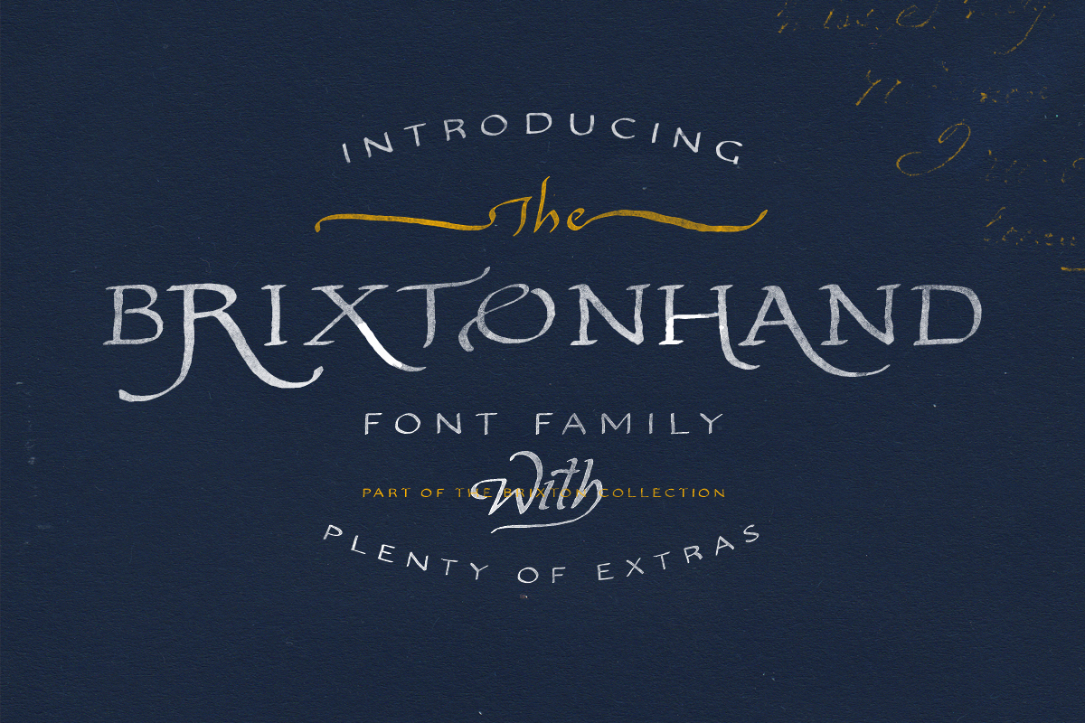
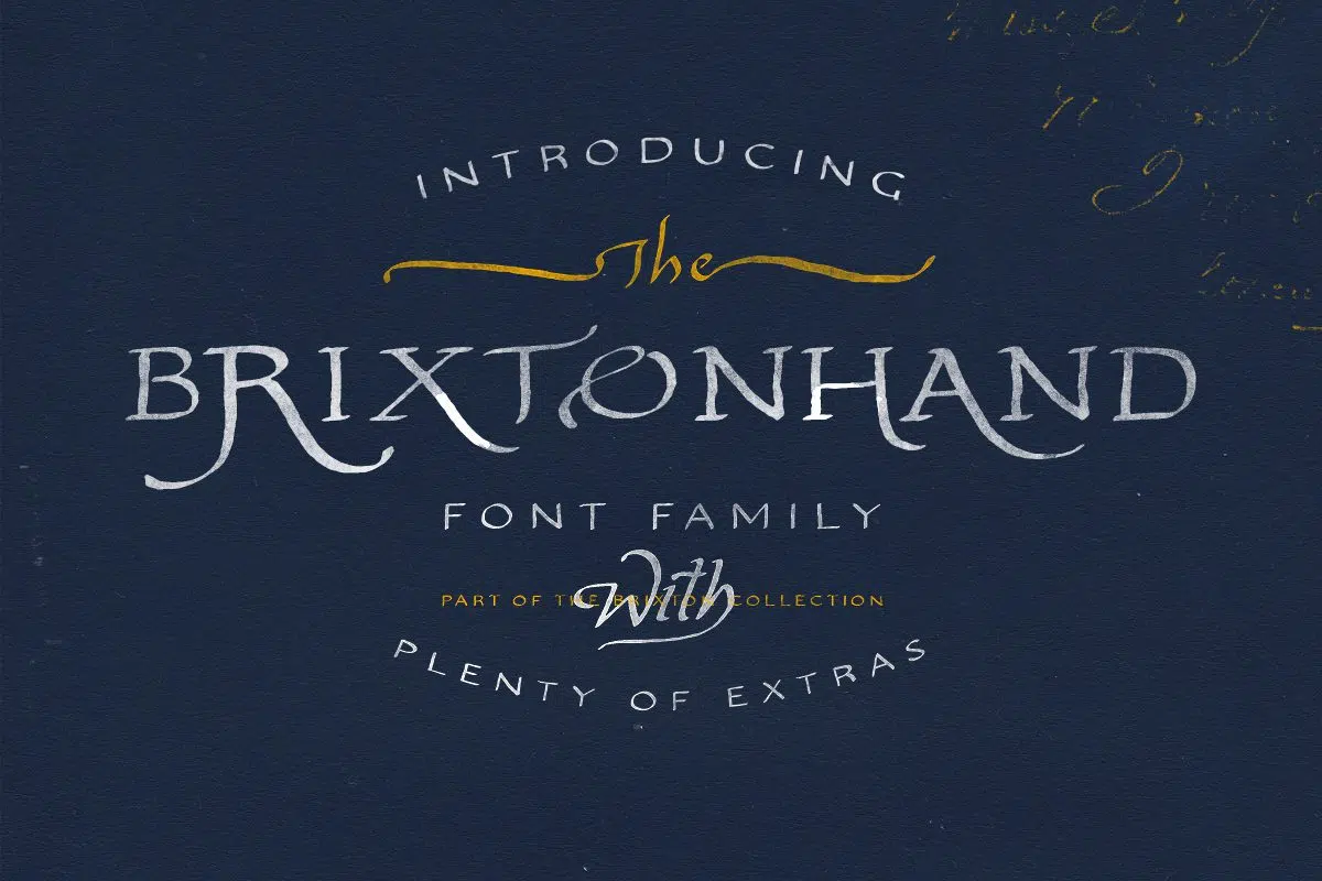
TC Brixton Hand
A Vintage Americana Font Family with Extras


I love old maps, always have. This is a fabulous bargain for the price, especially to get transparent .pngs of the maps as well – this opens up just tons of possibilities. Incredible job, Tom!
This is a super nice set of maps! Fantastic Price! I have so many projects for which these will be perfect. I am looking forward to the next set of resources that Tom puts out!
As always, perfection. Thanks, Tom!
This is my first order from this site. The sale price was too good to pass up! The quality and variety of images is quite nice as other reviewers have stated. Let’s all help Tom to continue to provide a multitude of kickass resources for busy designers such as ourselves! I doubt that this will be my only purchase going forward.
I’d been looking for some map graphics for a while. This is the perfect set! Nice variety and wonderful price.