


130 Vintage Maps of the World
$19.00
Introducing the Third and Largest Addition to Our Extensive, High Quality, and Rare Collection of Vintage Maps – Each image within this wonderful collection of Vintage Maps was sourced from an early 1900’s Atlas and Gazetteer that was not only in almost perfect condition, but was quite the giant!
To squeeze in as much detail as possible, we scanned each map at 1200dpi (around 4 minutes per scan!). Worth the wait! Just check out the 100% zoom, the quality of came through amazingly.
The Areas Covered; Africa, Argentina, Asia, Russia, Australia, Bengal Provinces, Borneo, British Isles, Burma, Canada, Africa, America, China, The Dead Sea, The Indies, Mexico, India, Japan, Malay Peninsula, Manchuria, New Zealand, Pacific Ocean, Palestine, Persia, Philippine, Quebec, Rhodesia, Tasmania, Tibet, and more.
What’s Inside?
- 130 Super-High Resolution Vintage Map Scans
- JPEG Format
- Average 10,000px (@300dpi) on Longest Side
Additional information
Related products


You may also like…
-
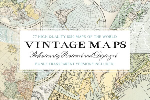
77 Vintage Maps of the World & Bonus
$19.00 Add to cart -
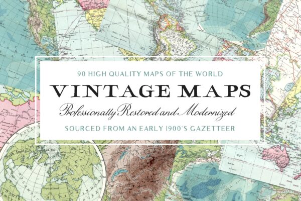
90 Vintage Maps of the World Vol.2
$19.00 Add to cart -

All Access Pass
From $99.00 / year Select options